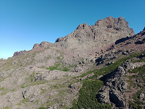
Bergerie de Tilarba (en ruine) — mountain hut in the “The centre: Corte and the mountains” area, in Corsica. Nearby: GR20 — the traverse of Corsica on foot (≈ 12 km).
At a glance
- Type
- Mountain hut
- Address
- 20224
- Elevation
- 1623 m
- Coordinates
- 42.34988, 8.92381
Location
- Airport
- ≈ 23 km as the crow flies — Calvi (CLY)
- Nearest sight
- GR20 — the traverse of Corsica on foot — ≈ 12 km
Orange dot: the property; green and blue dots: sights and beaches nearby. Map © OpenStreetMap contributors. Coordinates are approximate.
Around the property
No restaurant or food shop is mapped within 1 km: plan on having a car and shop on the way.
- Viewpoints
- nearest: Bocca Crucetta, ≈ 2.4 km
Straight-line distances based on OpenStreetMap: the actual route is longer, and a business missing from the map is not listed here. Check opening hours locally.
Rent a car
Without a car, day-to-day life at this property is difficult. Book your rental before you leave: in high season the island agencies sell out quickly.
Things to see nearby
All sights on the island → Hike
GR20 — the traverse of Corsica on foot
One of the toughest hiking trails in Europe≈ 12 km
 Hike
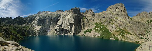
Melo and Capitello lakes
Corsica's best-known mountain lakes, at the head of the Restonica gorge≈ 19 km
 History
Corte citadel and the Museum of Corsica
A fortress on a rock and the island's main museum≈ 19 km
 Hike
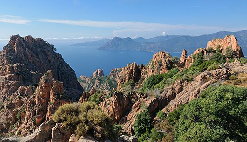
Calanques de Piana: the Château Fort trail
A short path to the fortress-like rock above the Calanques≈ 27 km
 Nature
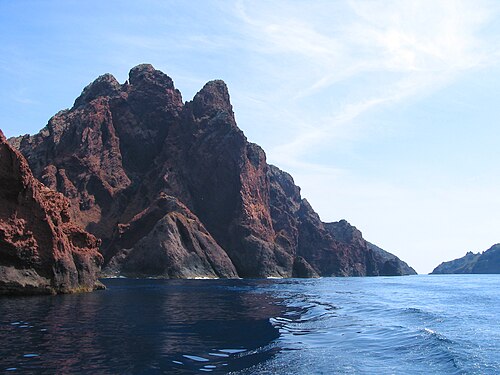
Scandola nature reserve
UNESCO-listed volcanic cliffs, visible only from the sea≈ 29 km
Tours nearby
All tours on the island → History and towns
The “Trinichellu” train through the mountainsThe narrow-gauge Ajaccio — Corte — Bastia line: viaducts, tunnels, pine forests
Half a day to a full dayAll year≈ 19 km
 Guided hikes
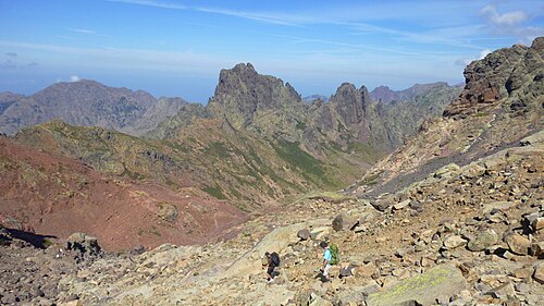
The GR20 with a guideEurope's toughest waymarked trail — the whole route or half of it
From 3 to 15 daysMid-June — September≈ 19 km
 Sea and lagoon
Scandola, Girolata and the Calanques de Piana from the seaA UNESCO-listed reserve with no roads — boat only
3–4 hApril — October≈ 21 km
Photos and reviews
There is no free photo of the property itself: those on Booking, Google Maps and hotel websites are protected by copyright, so we cannot reuse them. Photos of the property and guest reviews are on its Google Maps listing%2042.34988%2C8.92381) and on booking platforms.
Other places to stay nearby
The whole area: The centre: Corte and the mountains →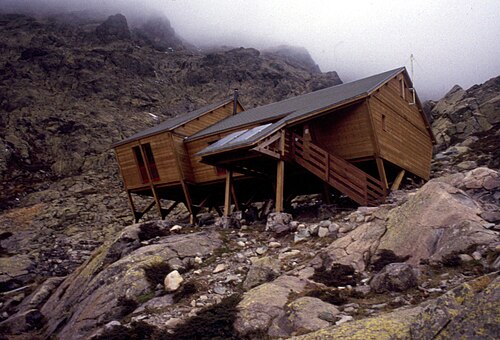
Where this data comes from
This property comes from OpenStreetMap (n440374694), where it was added by the project's contributors. Accommodation data comes from OpenStreetMap: the list is incomplete and may lag behind reality. We do not sell stays and do not know prices: check availability, rates and reviews through the links to booking platforms.
Spotted a mistake? Fix the entry directly in OpenStreetMap: the correction will appear here at the next update.