On the map
Green dots: sights; blue: beaches. Map © OpenStreetMap contributors. Coordinates are approximate.
Category:
 Viewpoint
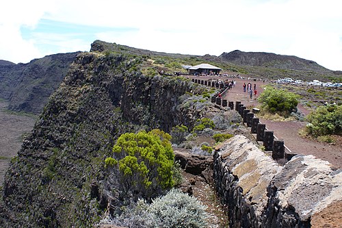
Pas de Bellecombe lookout
The rim of the caldera, facing the volcano's craterThe highlands and the volcano
 Nature
Plaine des Sables
A Martian landscape of red scoria on the road to the volcanoThe highlands and the volcano
 Museum
Cité du Volcan
The volcanology museum at Plaine des CafresThe highlands and the volcano
 History
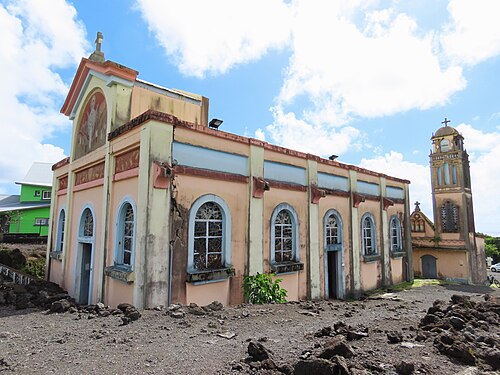
Notre-Dame-des-Laves
The church the lava flowed around in 1977The east
 Nature
Anse des Cascades
A bay with waterfalls, palms and fishing boatsThe east
 Museum
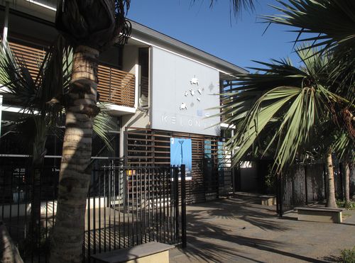
Kélonia
The sea turtle research and care centre in Saint-LeuThe west
 Viewpoint
Maïdo lookout
Sunrise over the Mafate cirque from 2,200 mThe west
 Village
Hell-Bourg
A Creole village listed among the most beautiful in FranceSalazie cirque
 Nature
Voile de la Mariée waterfall
A tiered waterfall right beside the road to SalazieSalazie cirque
 Beach
L'Hermitage beach
The island's main beach: a shallow lagoon, corals and the shade of casuarinasThe west
 Beach
La Saline-les-Bains
The continuation of the Hermitage lagoon — quieter, with cafés on the sandThe west
 Beach
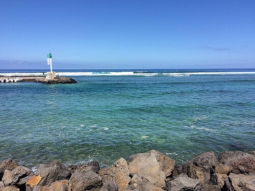
Saint-Leu lagoon
A small lagoon by the town, with turtles and paragliders overheadThe west
 Beach
L'Étang-Salé-les-Bains
Black volcanic sand and a small lagoonThe west
 Beach
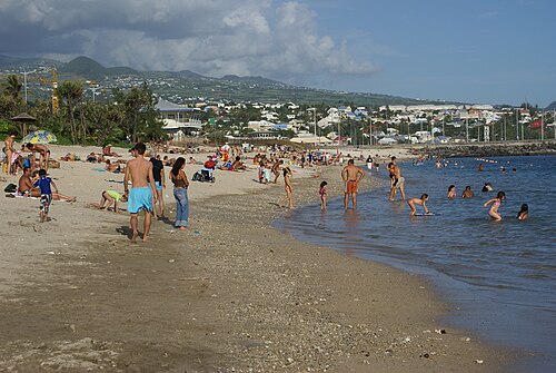
Saint-Pierre beach
A town beach with a lagoon, next to the seafront and restaurantsThe south
 Beach
Grande Anse
A white-sand beach with a stone-walled swimming poolThe south
 Beach
Boucan Canot
A fashionable beach with no reef: swim in the supervised zone onlyThe west
 Nature
Grand Galet waterfall (Langevin)
A wide waterfall and freshwater pools in the Langevin valleyThe south
 Hike
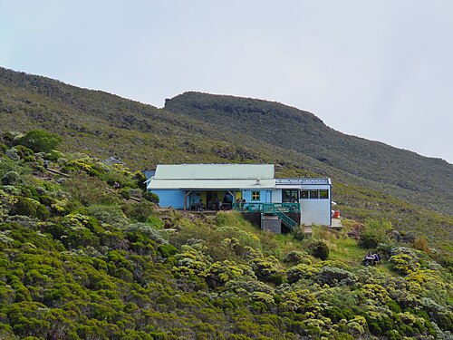
Piton des Neiges from Cilaos
The highest point in the Indian Ocean: a climb with an overnight stay and sunrise above the cloudsCilaos cirque
 Hike
To the Dolomieu crater
A walk across solidified lava to the rim of the volcano's main craterThe highlands and the volcano
 Hike
Trou de Fer lookout from Bélouve
A chasm with waterfalls hundreds of metres high — the most photographed view on the islandSalazie cirque
 Hike
Into Mafate: Col des Bœufs → La Nouvelle
The shortest way into the roadless cirque, and a night in an îletMafate cirque
 Hike
From Cilaos to Mafate over the Col du Taïbit
A crossing between two cirques over a 2,080 m passMafate cirque
 Hike
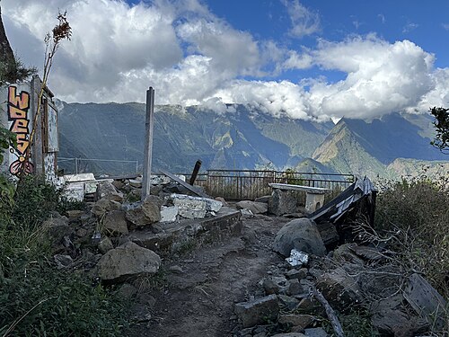
Cap Noir and Roche Verre Bouteille
A short loop with a view of Mafate — the best half-day routeThe north
 Hike
Grand Bénare from Maïdo
The ridge above Mafate to the island's third-highest summitThe west
 Hike
La Chapelle in Cilaos
A chapel-like canyon on the floor of the cirque, with river crossingsCilaos cirque
 Hike
Bassin la Paix and Bassin la Mer
A walk along the Rivière des Roches gorge to pools with waterfallsThe east