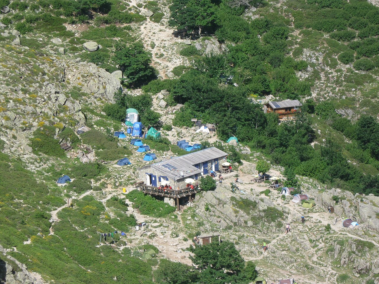
Refuge d'Usciolu — mountain hut in the “The east: Aléria and the Costa Verde” area, in Corsica. Nearby: The Bavella needles (≈ 16 km).
At a glance
- Type
- Mountain hut
- Capacity
- 31
- Brand / operator
- Parc Naturel Régional de Corse
- Elevation
- 1750 m
- Website
- official website
- Coordinates
- 41.93513, 9.20598
Location
- Airport
- ≈ 34 km as the crow flies — Ajaccio (AJA)
- Nearest sight
- The Bavella needles — ≈ 16 km
Orange dot: the property; green and blue dots: sights and beaches nearby. Map © OpenStreetMap contributors. Coordinates are approximate.
Around the property
You can eat out or pick up a few groceries within 1 km, but not everything is close: a car is still useful.
- Supermarkets and grocery shops
- nearest: ≈ 50 m
- Viewpoints
- nearest: ≈ 2.0 km
Straight-line distances based on OpenStreetMap: the actual route is longer, and a business missing from the map is not listed here. Check opening hours locally.
Rent a car
For shopping, beaches and sightseeing, a rental car is still the most practical option. Book it before you leave: in high season the island agencies sell out quickly.
Things to see nearby
All sights on the island → Nature
The Bavella needles
Jagged granite peaks at the Bavella pass≈ 16 km
 Nature
The Cavu natural pools
Freshwater granite pools in the mountains above the sea≈ 25 km
 Hike
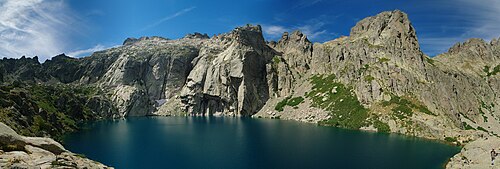
Melo and Capitello lakes
Corsica's best-known mountain lakes, at the head of the Restonica gorge≈ 33 km
 Museum
Maison Bonaparte in Ajaccio
The house where Napoleon was born≈ 39 km
Tours nearby
All tours on the island → Canyons and thrills
Canyoning at BavellaGranite slides, jumps into pools and abseils down waterfalls
Half a dayMay — September≈ 16 km
 History and towns
Napoleon's Ajaccio and the Sanguinaires IslandsThe Bonaparte house, the cathedral where the Emperor was baptised and sunset at the Sanguinaires
2–3 hAll year≈ 39 km
Photos and reviews
The photo above comes from Wikimedia Commons, under a free licence. Photos of the property and guest reviews are on its Google Maps listing and on booking platforms.
Other places to stay nearby
The whole area: The east: Aléria and the Costa Verde →


Where this data comes from
This property comes from OpenStreetMap (w353265114), where it was added by the project's contributors. Accommodation data comes from OpenStreetMap: the list is incomplete and may lag behind reality. We do not sell stays and do not know prices: check availability, rates and reviews through the links to booking platforms.
Spotted a mistake? Fix the entry directly in OpenStreetMap: the correction will appear here at the next update.