Gite de Etappe di a Rota — hostel in the “The west: Ajaccio, Piana, Scandola” area, in Corsica. Nearby: Calanques de Piana: the Château Fort trail (≈ 15 km).
At a glance
- Type
- Hostel
- Phone
- +33 4 95 26 21 21
- Website
- official website
- Coordinates
- 42.23643, 8.80611
Location
- Airport
- ≈ 33 km as the crow flies — Calvi (CLY)
- Nearest sight
- Calanques de Piana: the Château Fort trail — ≈ 15 km
Orange dot: the property; green and blue dots: sights and beaches nearby. Map © OpenStreetMap contributors. Coordinates are approximate.
Around the property
You can eat out or pick up a few groceries within 1 km, but not everything is close: a car is still useful.
- Restaurants
- 2 within 1 km; nearest: Usteria di a Rota, ≈ 50 m
- Cafés and bars
- nearest: ≈ 1.7 km
- Supermarkets and grocery shops
- nearest: Utile, ≈ 1.9 km
- Viewpoints
- nearest: ≈ 1.2 km
Straight-line distances based on OpenStreetMap: the actual route is longer, and a business missing from the map is not listed here. Check opening hours locally.
Rent a car
For shopping, beaches and sightseeing, a rental car is still the most practical option. Book it before you leave: in high season the island agencies sell out quickly.
Things to see nearby
All sights on the island →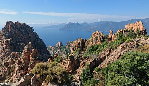 Hike
Calanques de Piana: the Château Fort trail
A short path to the fortress-like rock above the Calanques≈ 15 km
 Hike
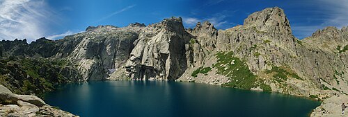
Melo and Capitello lakes
Corsica's best-known mountain lakes, at the head of the Restonica gorge≈ 19 km
 Hike
GR20 — the traverse of Corsica on foot
One of the toughest hiking trails in Europe≈ 21 km
 Nature
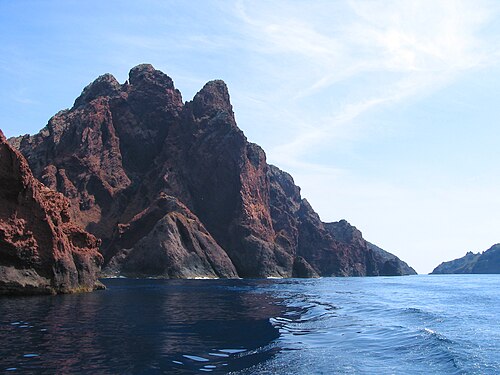
Scandola nature reserve
UNESCO-listed volcanic cliffs, visible only from the sea≈ 24 km
 History
Corte citadel and the Museum of Corsica
A fortress on a rock and the island's main museum≈ 29 km
 Museum
Maison Bonaparte in Ajaccio
The house where Napoleon was born≈ 36 km
Tours nearby
All tours on the island → Sea and lagoon
Scandola, Girolata and the Calanques de Piana from the seaA UNESCO-listed reserve with no roads — boat only
3–4 hApril — October≈ 10 km
 Guided hikes
The GR20 with a guideEurope's toughest waymarked trail — the whole route or half of it
From 3 to 15 daysMid-June — September≈ 29 km
 History and towns
The “Trinichellu” train through the mountainsThe narrow-gauge Ajaccio — Corte — Bastia line: viaducts, tunnels, pine forests
Half a day to a full dayAll year≈ 29 km
Photos and reviews
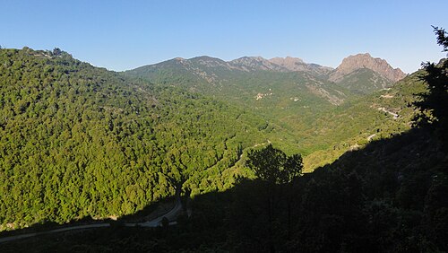
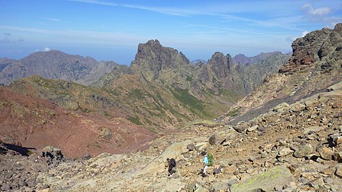
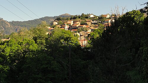
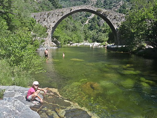
There is no free photo of the property itself: those on Booking, Google Maps and hotel websites are protected by copyright, so we cannot reuse them. The photo above, from Wikimedia Commons, was taken close by: it shows the place, not the property. Photos of the property and guest reviews are on its Google Maps listing and on booking platforms.
Other places to stay nearby
The whole area: The west: Ajaccio, Piana, Scandola →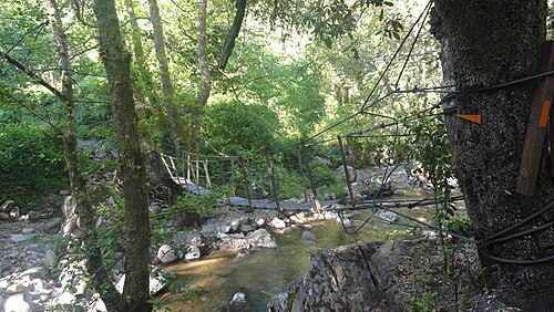
Where this data comes from
This property comes from OpenStreetMap (n4943975927), where it was added by the project's contributors. Accommodation data comes from OpenStreetMap: the list is incomplete and may lag behind reality. We do not sell stays and do not know prices: check availability, rates and reviews through the links to booking platforms.
Spotted a mistake? Fix the entry directly in OpenStreetMap: the correction will appear here at the next update.