Refuge du Mont Panié (Maruia) — mountain hut in the “The east coast” area, in New Caledonia. Nearby: Mount Panié (≈ 250 m).
At a glance
- Type
- Mountain hut
- Capacity
- 8
- Area
- The east coast
- Elevation
- 1350 m
- Coordinates
- -20.58119, 164.76820
Location
- Airport
- ≈ 219 km as the crow flies — La Tontouta (NOU)
- Nearest sight
- Mount Panié — ≈ 250 m
Orange dot: the property; green and blue dots: sights and beaches nearby. Map © OpenStreetMap contributors. Coordinates are approximate.
Around the property
Straight-line distances based on OpenStreetMap: the actual route is longer, and a business missing from the map is not listed here. Check opening hours locally.
Things to see nearby
All sights on the island →

Tours nearby
All tours on the island →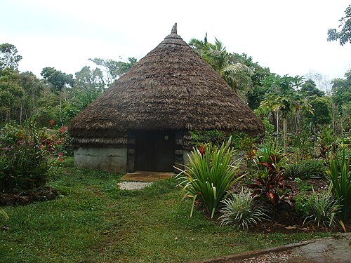
Photos and reviews
There is no free photo of the property itself: those on Booking, Google Maps and hotel websites are protected by copyright, so we cannot reuse them. Photos of the property and guest reviews are on its Google Maps listing%20-20.58119%2C164.7682) and on booking platforms.
Other places to stay nearby
The whole area: The east coast →Where this data comes from
This property comes from OpenStreetMap (n10613649564), where it was added by the project's contributors. Accommodation data comes from OpenStreetMap: the list is incomplete and may lag behind reality. We do not sell stays and do not know prices: check availability, rates and reviews through the links to booking platforms.
Spotted a mistake? Fix the entry directly in OpenStreetMap: the correction will appear here at the next update.