Mairie (Fare pote) — hotel in the “Papeete and the north-west” area, on Tahiti. The nearest beach is about 1.1 km away as the crow flies. Nearby: Papeete market (≈ 180 m).

At a glance
- Type
- Hotel
- Coordinates
- -17.53770, -149.56546
Location
- Beach
- ≈ 1.1 km as the crow flies — Plage Hokule'a
- Airport
- ≈ 5 km as the crow flies — Faa'a (PPT)
- Nearest sight
- Papeete market — ≈ 180 m
Orange dot: the property; green and blue dots: sights and beaches nearby. Map © OpenStreetMap contributors. Coordinates are approximate.
Around the property
A restaurant and a food shop are within 600 m: you can manage day to day without a car.
- Restaurants
- 101 within 1 km; nearest: Le Grillardin, ≈ 50 m
- Cafés and bars
- 18 within 1 km; nearest: K'fé Rotie, ≈ 80 m
- Supermarkets and grocery shops
- 22 within 1 km; nearest: Magasin AH KIAU, ≈ 160 m
- Bakeries
- 3 within 1 km; nearest: Les gourmandises chinoises, ≈ 210 m
- Pharmacy
- 8 within 1 km; nearest: Lafayette, ≈ 160 m
- Doctor, clinic or hospital
- 14 within 1 km; nearest: Conseil de l'Ordre des Médecins, ≈ 240 m
- Bank or ATM
- 38 within 1 km; nearest: American Express, ≈ 70 m
- Petrol station
- 7 within 1 km; nearest: Shell Hinoi Api, ≈ 200 m
- Bus stops
- 17 within 1 km; nearest: Pont de l'Est, ≈ 170 m
- Car rental
- 2 within 1 km; nearest: Avis, ≈ 90 m
- Ferry terminal
- 8 within 1 km; nearest: Gare Maritime, ≈ 490 m
- Marina
- nearest: Marina de Papeete, ≈ 610 m
- Viewpoints
- nearest: ≈ 1.9 km
Straight-line distances based on OpenStreetMap: the actual route is longer, and a business missing from the map is not listed here. Check opening hours locally.
Things to see nearby
All sights on the island → History
Papeete market
A covered market of flowers, fruit and black pearls≈ 180 m
 History
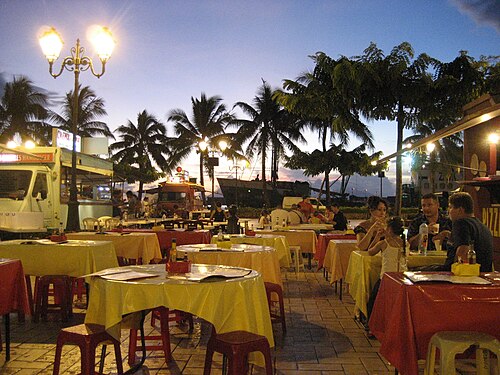
The roulottes of Place Vaiete
Dinner at the food trucks — the cheapest way to eat on Tahiti≈ 480 m
 Hike
The Fautaua valley and waterfall
A valley with a waterfall some 300 m high above Papeete≈ 5.3 km
 Beach
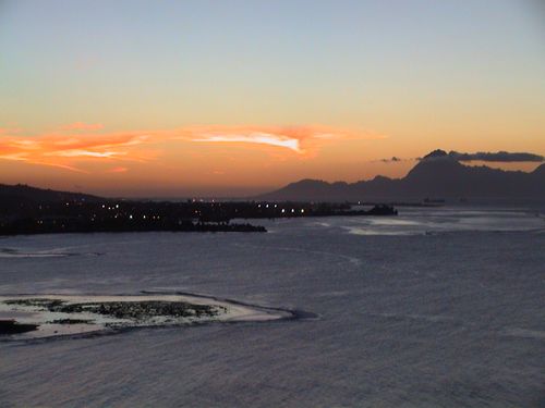
Point Venus
Black sand, a lighthouse and the story of Cook's expedition≈ 8.9 km
 Hike
Mount Aorai
A climb to Tahiti's third-highest summit along a sharp ridge≈ 11 km
 Nature
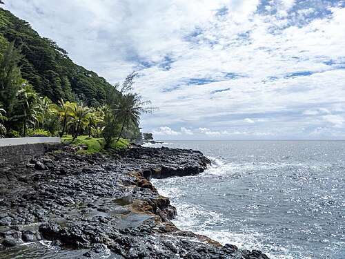
Arahoho blowhole
A sea geyser beside the road on the east coast≈ 13 km
Tours nearby
All tours on the island → History and towns
Around Tahiti in a dayPoint Venus, the Arahoho blowhole, the Faarumai waterfalls, marae and gardens
A full dayAll year≈ 400 m
 Sea and lagoon
Diving in Tahiti and MooreaReef walls, wrecks and lemon sharks
2–3 hAll year≈ 400 m
 Canyons and thrills
By 4×4 into the Papenoo valleyInto the crater of an ancient volcano: waterfalls, fords and marae
A full dayMay — October≈ 16 km
Photos and reviews
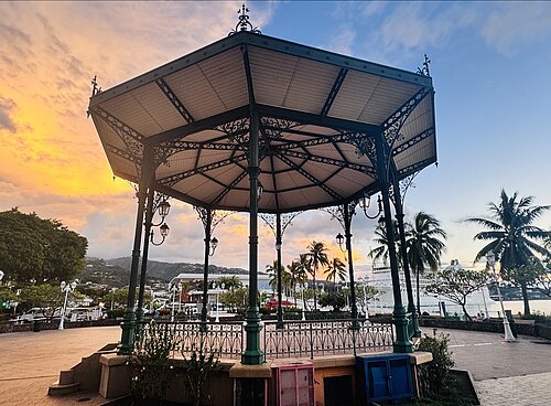
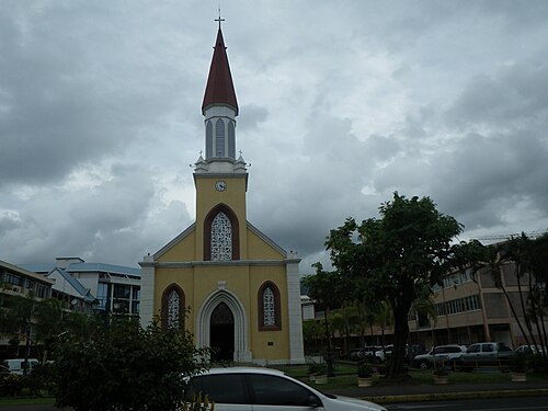
There is no free photo of the property itself: those on Booking, Google Maps and hotel websites are protected by copyright, so we cannot reuse them. The photo above, from Wikimedia Commons, was taken close by: it shows the place, not the property. Photos of the property and guest reviews are on its Google Maps listing%20-17.5377%2C-149.56546) and on booking platforms.
Other places to stay nearby
The whole area: Papeete and the north-west →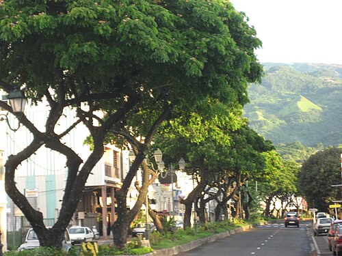

Where this data comes from
This property comes from OpenStreetMap (w245142950), where it was added by the project's contributors. Accommodation data comes from OpenStreetMap: the list is incomplete and may lag behind reality. We do not sell stays and do not know prices: check availability, rates and reviews through the links to booking platforms.
Spotted a mistake? Fix the entry directly in OpenStreetMap: the correction will appear here at the next update.