Résid’Anses — gîte / chalet in the “The south” area, in Martinique. The nearest beach is about 210 m away as the crow flies. Nearby: Grande Anse d'Arlet (≈ 4.2 km).
At a glance
- Type
- Gîte / chalet
- Area
- The south
- Website
- official website
- Coordinates
- 14.46844, -61.06925
Location
- Beach
- ≈ 210 m as the crow flies
- Airport
- ≈ 15 km as the crow flies — Aimé-Césaire (FDF)
- Nearest sight
- Grande Anse d'Arlet — ≈ 4.2 km
Orange dot: the property; green and blue dots: sights and beaches nearby. Map © OpenStreetMap contributors. Coordinates are approximate.
Around the property
You can eat out or pick up a few groceries within 1 km, but not everything is close: a car is still useful.
- Restaurants
- nearest: Au Dessous Du Volcan, ≈ 720 m
- Cafés and bars
- nearest: Snack Fredo, ≈ 50 m
- Supermarkets and grocery shops
- nearest: La Bonne Brise, ≈ 2.8 km
- Bakeries
- nearest: Le Fournil Arlésien, ≈ 2.8 km
- Pharmacy
- nearest: Pharmacie Arlésienne, ≈ 2.8 km
- Doctor, clinic or hospital
- nearest: ≈ 2.4 km
- Bank or ATM
- nearest: La Banque Postale, ≈ 2.8 km
- Bus stops
- nearest: La Batterie, ≈ 2.5 km
- Dive centre
- nearest: Anses d'Arlet Plongée, ≈ 2.6 km
- Viewpoints
- nearest: ≈ 1.1 km
Straight-line distances based on OpenStreetMap: the actual route is longer, and a business missing from the map is not listed here. Check opening hours locally.
Rent a car
For shopping, beaches and sightseeing, a rental car is still the most practical option. Book it before you leave: in high season the island agencies sell out quickly.
Things to see nearby
All sights on the island →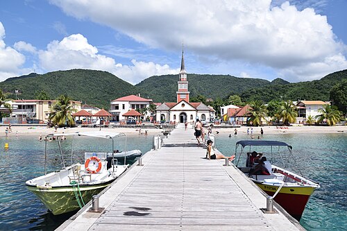 Beach
Grande Anse d'Arlet
A cove where sea turtles graze close to shore≈ 4.2 km
 Beach
Le Diamant beach
The longest beach, facing the rock — but with dangerous currents≈ 4.2 km
 Viewpoint
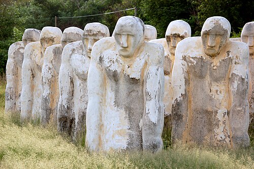
Diamond Rock and the Anse Caffard memorial
A fortress rock and a memorial to the victims of the slave trade≈ 4.2 km
 Beach
Anse Dufour and Anse Noire
Two neighbouring coves — one white, one black — with turtles≈ 6.9 km
 History
Schœlcher Library
An iron pavilion built for the Paris World's Fair≈ 15 km
 Hike
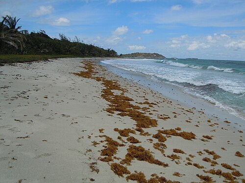
Trace des Caps: Les Salines → Anse Trabaud
A coastal path along the wild beaches of the south≈ 21 km
Tours nearby
All tours on the island →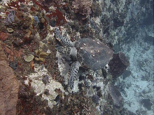 Whales, dolphins, turtles
Snorkelling with turtles at Les Anses-d'ArletGreen turtles graze on seagrass right off the shore
2–3 hAll year, best in the morning≈ 6.9 km
 Sea and lagoon
Kayaking through the mangrovesStill water, crabs and herons in Génipa bay and at La Caravelle
2–3 hAll year≈ 8.0 km
 Whales, dolphins, turtles
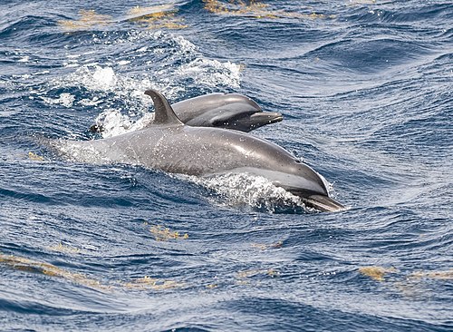
Dolphins off the Caribbean coastA morning boat trip along the north-west coast
3–4 hAll year≈ 8.6 km
Photos and reviews
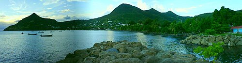
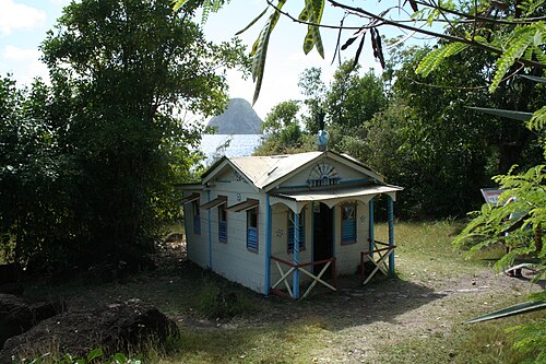
There is no free photo of the property itself: those on Booking, Google Maps and hotel websites are protected by copyright, so we cannot reuse them. The photo above, from Wikimedia Commons, was taken close by: it shows the place, not the property. Photos of the property and guest reviews are on its Google Maps listing and on booking platforms.
Other places to stay nearby
The whole area: The south →



Where this data comes from
This property comes from OpenStreetMap (n13460575365), where it was added by the project's contributors. Accommodation data comes from OpenStreetMap: the list is incomplete and may lag behind reality. We do not sell stays and do not know prices: check availability, rates and reviews through the links to booking platforms.
Spotted a mistake? Fix the entry directly in OpenStreetMap: the correction will appear here at the next update.