A wild black-sand beach at the end of the road in the north-west
Dangerous currents — take care
At a glance
- Category
- Beaches and swimming
- Swimming
- Dangerous currents — take care
- Lifeguards
- No
- Snorkelling
- Yes
- With children
- With care
- Shade
- Forest
- Parking
- Yes
- Places to stay nearby
- 3 places to stay within 10 km
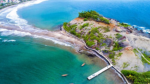
A black-sand cove surrounded by rainforest, at the very end of the road beyond Le Prêcheur. The trail to Grand'Rivière starts here. The water is often rough.
Risks. Waves and currents; no lifeguards.
On the map
Orange dots: places to stay nearby. Map © OpenStreetMap contributors. Coordinates are approximate.
Where to stay nearby: Anse Couleuvre
All places to stay in the area →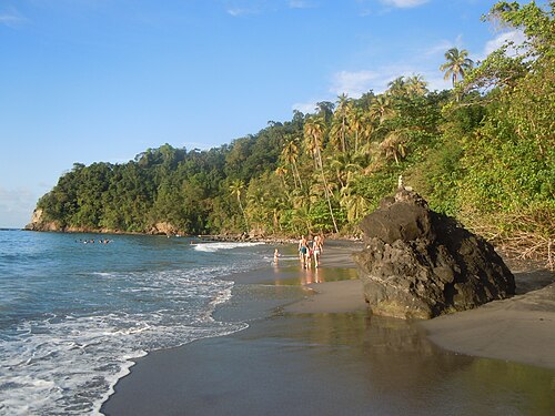
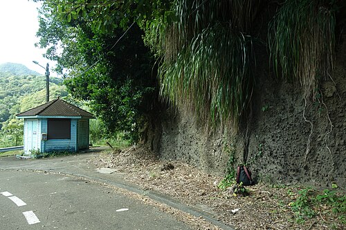


Distance from the sight as the crow flies: Habitation Anse Couleuvre — 710 m; Tante Arlette — 6.3 km; L'Auberge de la Montagne Pelée — 9.6 km; The Kapokier — 12 km.
Tours nearby
All tours on the island → Guided hikes
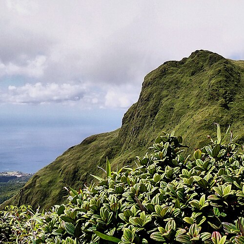
Climbing Mount Pelée with a guideThe volcano that destroyed Saint-Pierre in 1902 — 1,397 m
4–5 hDrier February — May; start at dawn≈ 10 km
 History and towns
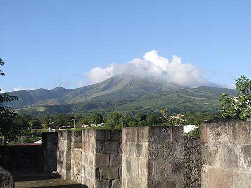
Saint-Pierre: the town beneath the volcanoThe ruins of the “Paris of the Antilles”, Cyparis's prison cell and the disaster memorial
Half a dayAll year≈ 12 km
 Canyons and thrills
Gorges and canyoning in the northRivers on the slopes of Pelée: the Gorges de la Falaise and waterfall descents
Half a dayFebruary — June≈ 20 km
More to see nearby
 Hike
Mount Pelée via l'Aileron
A climb up the volcano that destroyed Saint-Pierre≈ 7.2 km
 History
The ruins of Saint-Pierre
The town destroyed by the eruption of 1902≈ 12 km
Hike
Gorges de la Falaise
A walk up a riverbed through a narrow gorge to a waterfall≈ 13 km
 Nature
Balata Garden
A botanical garden with hanging walkways in the treetops≈ 24 km
Opening hours, prices and rules are a rough guide: check official websites before you go.