A climb up the volcano that destroyed Saint-Pierre
At a glance
- Category
- Hikes
- Distance
- 7 km
- Elevation gain
- 700 m
- Time
- 4–5 h
- Difficulty
- 4 out of 5
- Water on the route
- No
- With children
- Teenagers with some experience
- Best time
- Dry season, start at dawn
- Places to stay nearby
- 5 places to stay within 10 km
The most popular route up Pelée: from the Aileron car park above Le Morne-Rouge, along the ridge to the caldera and the summit of Le Chinois.
Car park to l'Aileron. A steep climb up steps to the Aileron ridge — about an hour. In clear weather you can see the whole north of the island from here.
The caldera and the summit. The trail follows the rim of the caldera to the dome; the final climb to Le Chinois is over rocks. Fog and wind are usual here.
- Start before 7 am
- A waterproof is essential
- The route is dangerous in heavy rain
On the map
Orange dots: places to stay nearby. Map © OpenStreetMap contributors. Coordinates are approximate.
Where to stay nearby: Mount Pelée via l'Aileron
All places to stay in the area →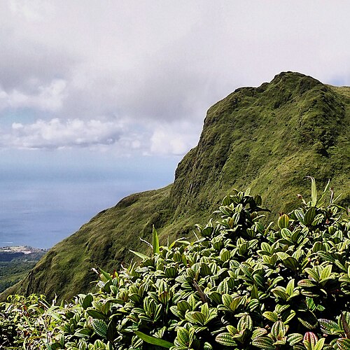

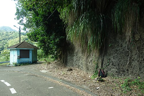

Distance from the sight as the crow flies: L'Auberge de la Montagne Pelée — 2.3 km; Habitation Anse Couleuvre — 6.8 km; The Kapokier — 7.0 km; Tante Arlette — 7.4 km.
Tours nearby
All tours on the island → Guided hikes
Climbing Mount Pelée with a guideThe volcano that destroyed Saint-Pierre in 1902 — 1,397 m
4–5 hDrier February — May; start at dawn≈ 2.9 km
 History and towns
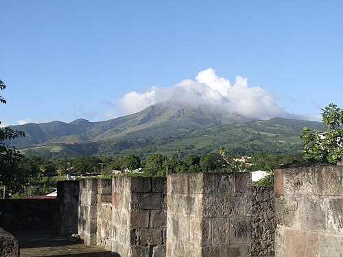
Saint-Pierre: the town beneath the volcanoThe ruins of the “Paris of the Antilles”, Cyparis's prison cell and the disaster memorial
Half a dayAll year≈ 7.4 km
 Canyons and thrills
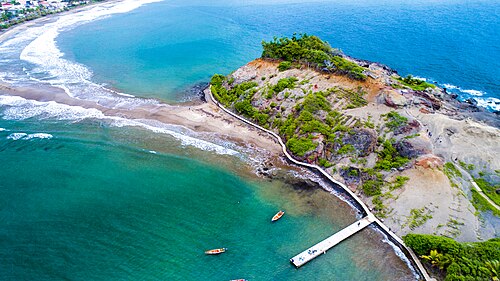
Gorges and canyoning in the northRivers on the slopes of Pelée: the Gorges de la Falaise and waterfall descents
Half a dayFebruary — June≈ 13 km
More to see nearby
Hike
Gorges de la Falaise
A walk up a riverbed through a narrow gorge to a waterfall≈ 6.0 km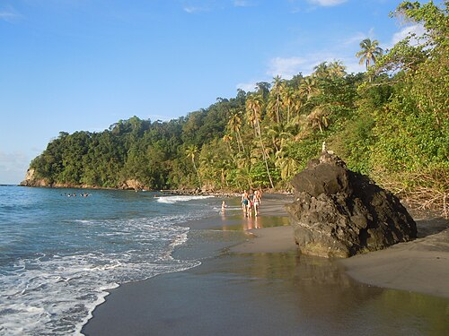 Beach
Anse Couleuvre
A wild black-sand beach at the end of the road in the north-west≈ 7.2 km
 History
The ruins of Saint-Pierre
The town destroyed by the eruption of 1902≈ 7.4 km
 Nature
Balata Garden
A botanical garden with hanging walkways in the treetops≈ 17 km
Opening hours, prices and rules are a rough guide: check official websites before you go.