B&B — hotel in the commune of Sainte-Marie, on Réunion. The nearest beach is about 2.8 km away as the crow flies. Nearby: Voile de la Mariée waterfall (≈ 15 km).
At a glance
- Type
- Hotel
- Rooms
- 98
- Brand / operator
- B&B
- Commune
- Sainte-Marie
- Address
- 41 Rue Georges Guynemer, 97438
- Area
- The north
- Phone
- +262 262 86 80 80
- Website
- official website
- Coordinates
- -20.89604, 55.50932
Location
- Beach
- ≈ 2.8 km as the crow flies — Plage de Sainte-Clotilde
- Airport
- ≈ 1 km as the crow flies — Roland-Garros (RUN)
- Nearest sight
- Voile de la Mariée waterfall — ≈ 15 km
Orange dot: the property; green and blue dots: sights and beaches nearby. Map © OpenStreetMap contributors. Coordinates are approximate.
Around the property
A restaurant and a food shop are within 600 m: you can manage day to day without a car.
- Restaurants
- 30 within 1 km; nearest: Le Bouillon Kerval, ≈ 100 m
- Cafés and bars
- 3 within 1 km; nearest: Caffé Lindo, ≈ 540 m
- Supermarkets and grocery shops
- nearest: Leclerc, ≈ 670 m
- Bakeries
- 5 within 1 km; nearest: Boulangerie Ange, ≈ 90 m
- Pharmacy
- nearest: Pharmasun, ≈ 1.0 km
- Doctor, clinic or hospital
- nearest: Médecin, ≈ 1.8 km
- Bank or ATM
- 2 within 1 km; nearest: Crédit Agricole, ≈ 530 m
- Petrol station
- nearest: Ola Energy, ≈ 990 m
- Bus stops
- 31 within 1 km; nearest: Gillot, ≈ 140 m
- Car rental
- 15 within 1 km; nearest: Jumbo Car & Clovis, ≈ 50 m
- Marina
- nearest: Maperine, ≈ 2.8 km
Straight-line distances based on OpenStreetMap: the actual route is longer, and a business missing from the map is not listed here. Check opening hours locally.
Things to see nearby
All sights on the island → Nature
Voile de la Mariée waterfall
A tiered waterfall right beside the road to Salazie≈ 15 km
 Hike
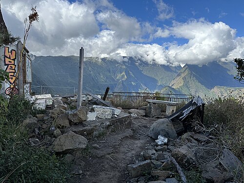
Cap Noir and Roche Verre Bouteille
A short loop with a view of Mafate — the best half-day route≈ 16 km
 Village
Hell-Bourg
A Creole village listed among the most beautiful in France≈ 19 km
 Hike
Into Mafate: Col des Bœufs → La Nouvelle
The shortest way into the roadless cirque, and a night in an îlet≈ 19 km
 Hike
Trou de Fer lookout from Bélouve
A chasm with waterfalls hundreds of metres high — the most photographed view on the island≈ 22 km
 Hike
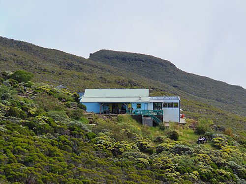
Piton des Neiges from Cilaos
The highest point in the Indian Ocean: a climb with an overnight stay and sunrise above the clouds≈ 23 km
Tours nearby
All tours on the island →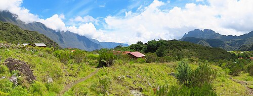 Guided hikes
Overnight trek into the Mafate cirqueA cirque without roads: on foot from hamlet to hamlet, with a night in a gîte
2–3 daysMay — November≈ 22 km
 Canyons and thrills
Canyoning in Cilaos and SalazieWaterfall descents, from beginner canyons to sporting ones
Half a day to a full dayMay — November≈ 27 km
 Rum, wine, vanilla
Vanilla in the east and rum distilleriesBourbon vanilla plantations and a rum museum in an old distillery
2–4 hAll year≈ 32 km
Photos and reviews
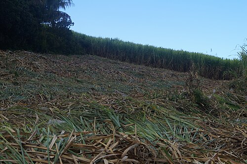
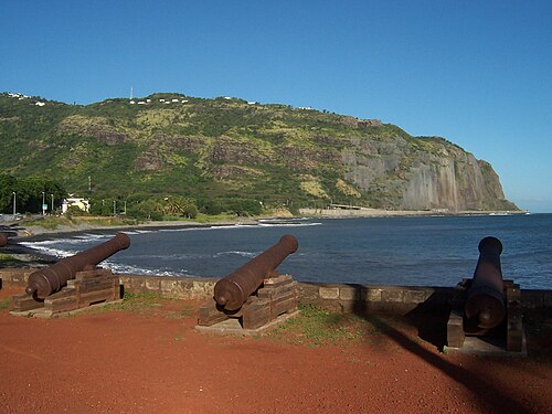
There is no free photo of the property itself: those on Booking, Google Maps and hotel websites are protected by copyright, so we cannot reuse them. The photo above, from Wikimedia Commons, was taken close by: it shows the place, not the property. Photos of the property and guest reviews are on its Google Maps listing and on booking platforms.
Other places to stay nearby
The whole area: The north →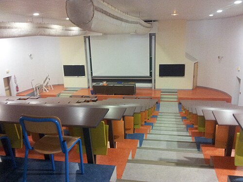
Where this data comes from
This property comes from OpenStreetMap (n13008711358), where it was added by the project's contributors. Accommodation data comes from OpenStreetMap: the list is incomplete and may lag behind reality. We do not sell stays and do not know prices: check availability, rates and reviews through the links to booking platforms.
Spotted a mistake? Fix the entry directly in OpenStreetMap: the correction will appear here at the next update.